What is a Surveyor and What Do They Do?
When developing a property, it pays to have a licensed surveyor to ensure all the work is safe and legal. Surveys prior to construction can help keep any building accurate, and an as-built survey can be carried out after the fact to prove that all positions are correct for any necessary documentation of the land and structures.
Having a surveyor involved in your project is a huge advantage. Often, when people elect not to bother hiring one, it’s simply because they don’t know what a surveyor’s work entails. To find out for yourself what a licensed surveyor does, read on.
Boundary Surveys and Legal Plans
Here at KW Consultants, one of our more standard services is carrying out boundary surveys. These formally mark the boundaries of a given property, and are essential to accomplish a wide range of things, including buying or selling land, dividing land, and building on land. Having an accurate and professional boundary survey is a typical requirement for all these works, as the legal plan drawn up contains the relevant data.
Surveyors map lot dimensions onto a property, and this is important to track. Many people think that fences are built on property lines, but this may not always be the case, even when fences are included on a legal plan of the property. Surveyors might also include easements on the plan, or improvements made to the land by previous owners, and this could include any permanent change to the land, or structure built on it.
Boundary surveys are vital legal documents, and it’s paramount that they’re accurate. It’s all too common for poorly drawn legal plans to result in disputes over boundaries, local council code violations, or in extreme cases, transfers of ownership due to title deficiencies.
Topographical Surveys and Site Plans
Topographical surveys are another core focus of the work we do, and these differ from boundary surveys in a few ways. A topographical site plan takes into account all property features—whether natural or man-made—including elevation levels, wooded areas, fencing and other construction or land improvements.
When it comes to building on any property, it pays to know everything you can about the land. Planning construction or development of any kind requires a topographical survey to ensure that all data regarding the land is up to date.
Local councils can require these site plans for certain projects, but architects and engineers also use them in the design phase of a project. Having accurate data on the land to refer to helps streamline the design process, and helps avoid unnecessary complications. Topographical surveys are therefore valuable to home construction, industrial engineering, design of civil infrastructure, or any level of subdivision of land.
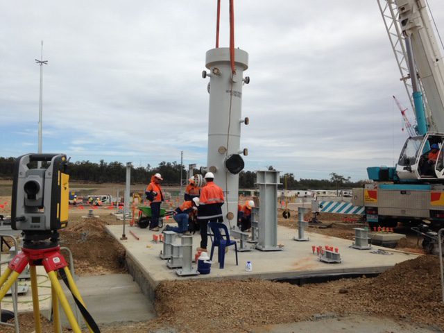
Construction Surveying
When there are earthworks planned for a site, markings that have been pre-placed for them by a surveyor will give contractors a much easier time. Essentially, if contractors don’t have specific directions to cut, fill, or otherwise meet other design requirements, they have no reason to follow your plans. Instead, they’ll carry out the project using their best judgement to guess how you want earthworks to be completed.
With a surveyor, they don’t have to guess. Instead, they can follow the guidelines laid out for them on the site, and this way, you have much more control over the development and ensure it will be carried out exactly how it appears in your plans.
There are other helpful reasons for having explicit directions laid out by a surveyor. For one, contractors need to know how much cut and fill they carried out afterwards, in order to charge accurate rates. The local council also requests accurate data on all earthworks for their own geotechnical reasons, as earthworks on your property may impact other properties nearby without you knowing about it.
For both of these reasons, a surveyor needs to survey your property before any earthworks are carried out. This way, you have a set of starting data, which you can compare to the finished site in order to quantify how much work has been done and how much earth has been moved.